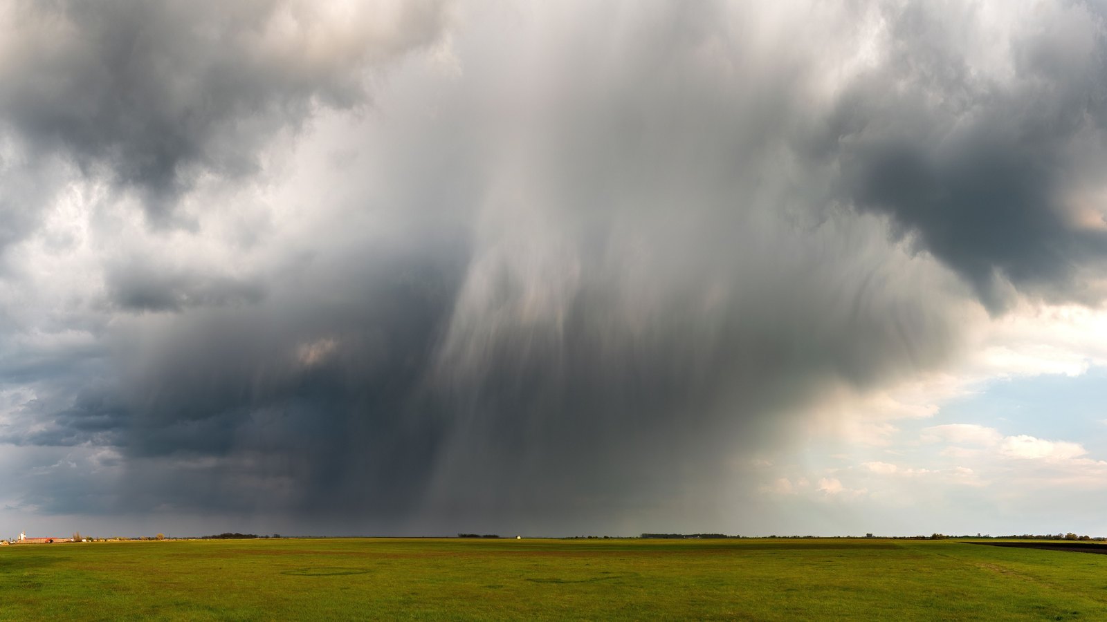
The Collier County storm statement expired at 5:15 p.m.
The Special Weather Statement for coastal and inland Collier County expired at 5:15 p.m. Friday and is no longer on the National Weather Service active alert feed.
 Stock photo
A National Weather Service Special Weather Statement for coastal and inland Collier County expired at 5:15 p.m. Friday. It is no longer on the active alert feed.
Radar indicated a strong storm near Royal Palm Hammock at 4:30 p.m., about 9 miles northeast of Marco Island. It was moving southeast at 15 mph.
Possible wind gusts of 45 to 50 mph could knock down tree limbs and send unsecured objects blowing. The Weather Service also warned of torrential rain that may cause localized flooding and frequent cloud to ground lightning.
Naples, Marco Island, Everglades City, Golden Gate Estates, East Naples, Lely Resort, Big Cypress National Preserve, Fakahatchee Strand State Preserve and the Interstate 75 and Everglades Boulevard intersection are among the listed locations.
The statewide active alert feed showed no replacement alert for Collier County at 5:15 p.m.