Strong thunderstorms capable of landspouts are nearly stationary near Cape Coral and Iona
Strong thunderstorms capable of producing landspouts were nearly stationary near Cape Coral and Iona late Wednesday afternoon. The National Weather Service said wind gusts up to 50 mph could cause minor damage to outdoor objects.
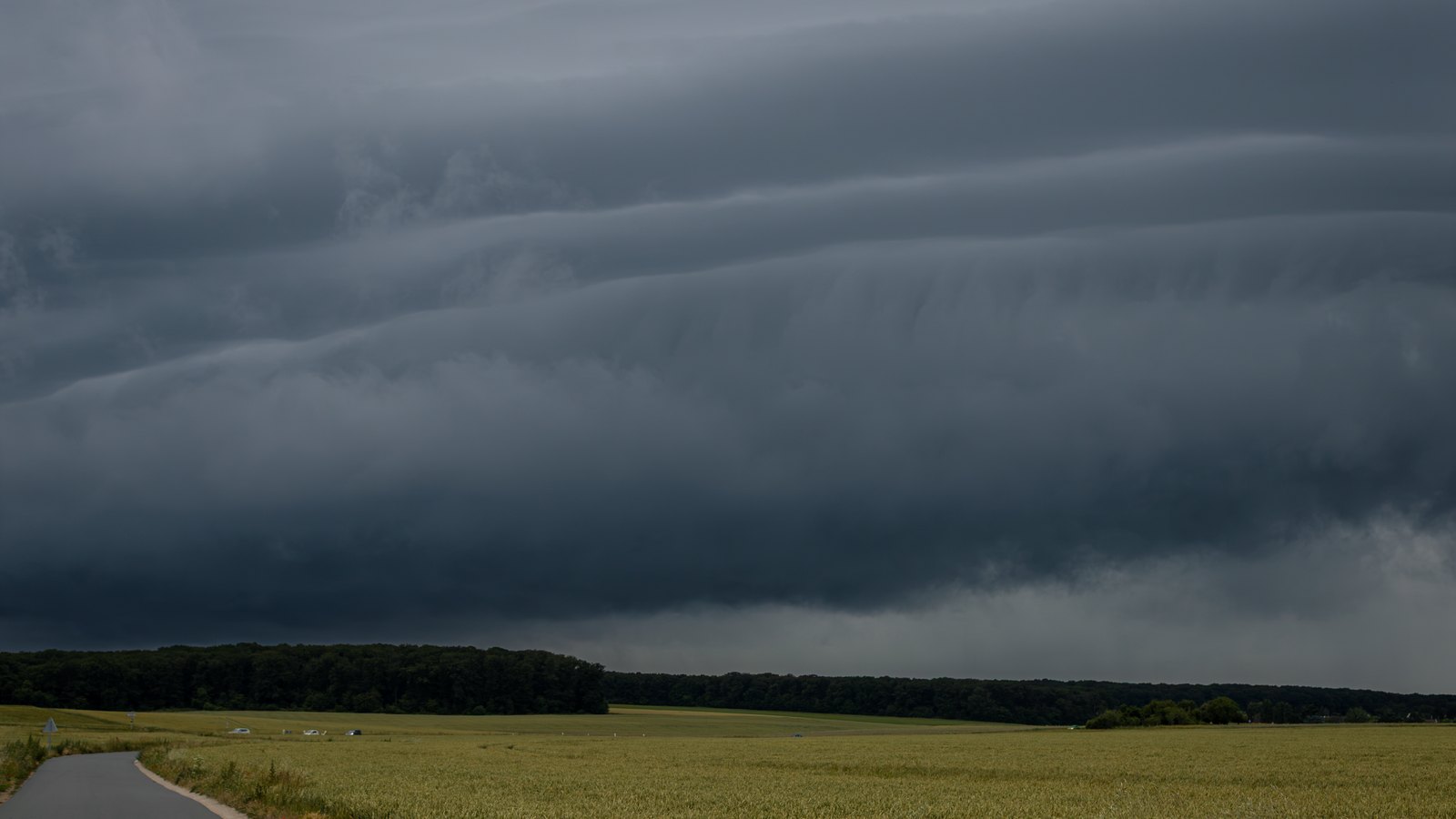 Stock photo
The new National Weather Service Special Weather Statement is active for northwestern Lee County and adjoining parts of Charlotte, DeSoto and Sarasota counties until 5:45 p.m. Wednesday.
At 4.52 p.m., radar indicated strong thunderstorms capable of producing a landspout along a line from northeast of Charlotte County Airport through the Cape Coral area to Iona. The storms were nearly stationary.
The Weather Service listed landspouts and wind gusts up to 50 mph as the hazards. Minor damage to outdoor objects is possible, and gusts could knock down tree limbs or blow around unsecured objects. People outdoors should consider shelter inside a building.
The named Lee County locations include Cape Coral, Matlacha, Harlem Heights, Iona, Cypress Lake, Pine Island Center, McGregor, Matlacha Isles, Pineland, St. James City and Punta Rassa.
An earlier statement placed a strong storm near San Carlos Park and was set to expire at 5 p.m. The later statement adds the landspout hazard and extends active coverage for northwestern Lee County to 5:45 p.m.