The strong thunderstorm statement for Naples and Marco Island expired at 4 p.m.
A National Weather Service Special Weather Statement for coastal and inland Collier County expired at 4 p.m. Wednesday. Radar had indicated a strong thunderstorm over Lely Resort moving west at 15 mph, with wind gusts of 45 to 50 mph, torrential rain and frequent lightning.
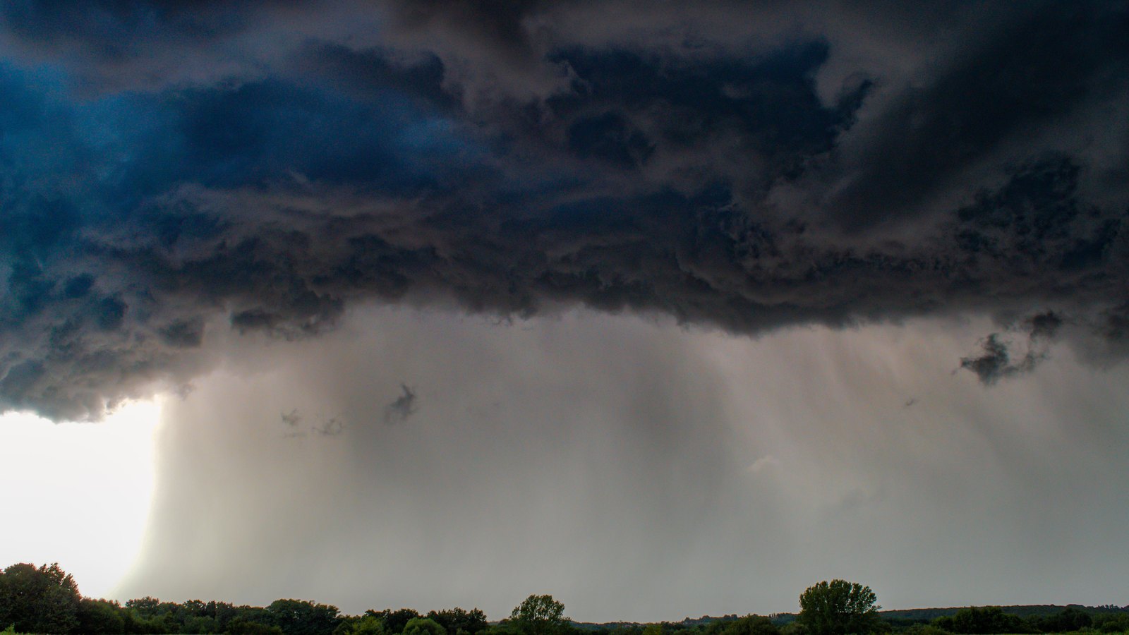 Stock photo
The Special Weather Statement from the National Weather Service office in Miami for coastal and inland Collier County expired at 4 p.m. Wednesday.
Radar indicated the storm was over Lely Resort at 3.14 p.m., about 8 miles southeast of Naples, and moving west at 15 mph.
The Weather Service said gusts could knock down tree limbs and send unsecured objects blowing. Torrential rain may cause localized flooding, and frequent cloud to ground lightning is occurring.
The affected area includes Naples, Marco Island, Golden Gate Estates, Golden Gate, East Naples, Lely Resort, North Naples, Pelican Bay, Goodland and the west toll gate on Alligator Alley.
The Weather Service active-alert feed showed no replacement alert for Collier County just after 4 p.m.