Treasury
3-MO 4.25% +2bp 6-MO 4.32% +2bp 1-YR 4.47% +3bp 2-YR 4.80% +5bp 3-YR 4.89% +4bp 5-YR 5.02% +3bp 7-YR 5.13% +2bp 10-YR 5.24% +2bp 20-YR 5.65% +1bp 30-YR 5.60% unch 3-MO 4.25% +2bp 6-MO 4.32% +2bp 1-YR 4.47% +3bp 2-YR 4.80% +5bp 3-YR 4.89% +4bp 5-YR 5.02% +3bp 7-YR 5.13% +2bp 10-YR 5.24% +2bp 20-YR 5.65% +1bp 30-YR 5.60% unch 3-MO 4.25% +2bp 6-MO 4.32% +2bp 1-YR 4.47% +3bp 2-YR 4.80% +5bp 3-YR 4.89% +4bp 5-YR 5.02% +3bp 7-YR 5.13% +2bp 10-YR 5.24% +2bp 20-YR 5.65% +1bp 30-YR 5.60% unch 3-MO 4.25% +2bp 6-MO 4.32% +2bp 1-YR 4.47% +3bp 2-YR 4.80% +5bp 3-YR 4.89% +4bp 5-YR 5.02% +3bp 7-YR 5.13% +2bp 10-YR 5.24% +2bp 20-YR 5.65% +1bp 30-YR 5.60% unch 3-MO 4.25% +2bp 6-MO 4.32% +2bp 1-YR 4.47% +3bp 2-YR 4.80% +5bp 3-YR 4.89% +4bp 5-YR 5.02% +3bp 7-YR 5.13% +2bp 10-YR 5.24% +2bp 20-YR 5.65% +1bp 30-YR 5.60% unch 3-MO 4.25% +2bp 6-MO 4.32% +2bp 1-YR 4.47% +3bp 2-YR 4.80% +5bp 3-YR 4.89% +4bp 5-YR 5.02% +3bp 7-YR 5.13% +2bp 10-YR 5.24% +2bp 20-YR 5.65% +1bp 30-YR 5.60% unch
US Treasury par yield curve · Oct 9 · Source: U.S. Treasury
Saturday, October 10, 2026
U.S. Edition
Lee and Collier counties

High surf in Lee County and minor coastal flooding in Collier County remain in effect through Saturday

In short

A High Surf Advisory covers coastal Lee County through 8 a.m. Saturday. A Coastal Flood Statement covers coastal Collier County through noon Saturday, with isolated minor flooding possible on low roads and property.
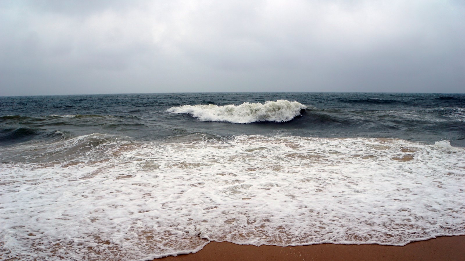
Rough waves break on an empty sandy beach beneath an overcast sky, not a photograph of these conditions. Stock photo
Stock photo. Not the actual scene. Photo: sergey mishakov / Pexels

The National Weather Service has a High Surf Advisory in effect for coastal Lee County through 8 a.m. Saturday.

Forecasters expect large breaking waves and dangerous rip currents. The related rip current statement continues through 8 p.m. Saturday.

Coastal Collier County is under a separate Coastal Flood Statement through noon Saturday. The service says isolated minor flooding could put water on low-lying roads and property.

That Collier statement extends the window beyond the 10 p.m. Friday ending time in the earlier alert. The same transmission places coastal Collier under a high rip current risk through 8 p.m. Saturday.

The weather service tells drivers not to enter flooded roads and advises swimmers to stay near a lifeguard.