Cape Coral's boil water map has turned over completely, with four notices now active and all three from Tuesday rescinded
Cape Coral's official map of areas under a precautionary boil water notice held four active records shortly after 1 a.m. Thursday, with no rescind date recorded against any of them. None of the four is an area this site listed two days ago.
The city attributes all four to water main breaks. One covers 3720 SE 1st Place and was logged on July 28 at 12:05 p.m., with the service interruption entered a minute later. A second covers 1718 Four Mile Cove and was logged the same day at 12:46 p.m. A third, at 1718 Four Mile Cove Parkway, was logged that afternoon at 2:05 p.m. The fourth and newest covers 1724 SE 8th Avenue and was logged on July 29 at 10:03 a.m. All four are recorded against drinking water.
Three addresses, four records. The two Four Mile Cove entries carry the same street number, were entered one hour and nineteen minutes apart, and cover mapped areas of very different size, about 343,900 square feet for the first and about 69,700 for the second. The city's records do not say whether that is one event refined or two separate breaks at the same location, and this site is not going to guess. What the map holds is two active records there.
The other two are the largest areas in the set. The SE 1st Place area covers about 502,800 square feet and the SE 8th Avenue area about 390,600.
Everything this site reported as active on July 28 is now cleared. The city rescinded all three within half an hour on Wednesday morning: 811 SE 34th Street at 7:27 a.m., 2118 Skyline Boulevard at 7:34 a.m., and 6061 Silver King Boulevard at 7:53 a.m. The Skyline Boulevard area is the one this site singled out two days ago for having stood since a July 20 break without being lifted. It was rescinded on the ninth day.
Two other layers on the same service are empty. The city's hydrant flushing layer returned no records, and so did its scheduled shutdown layer, which means the scheduled shutdown at 1627 NE 23rd Terrace reported here on July 28 is no longer on the map.
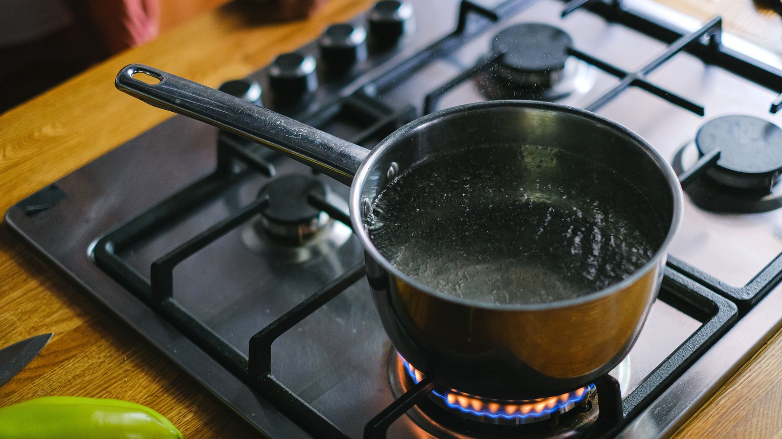
On what the notice requires, the city is specific, and the requirement is narrower than many people assume. Bring water to a rolling boil for one minute before using it for drinking, cooking, making ice, rinsing or preparing raw foods, preparing baby bottles, brushing teeth or washing dishes, or use bottled water instead. Showering and doing laundry are not restricted. The city also states plainly that a precautionary notice is not by itself a finding that the drinking water is contaminated, because Florida's Department of Health guidelines require the notice whenever a line break leaves the system at zero or negative pressure, or a main break drops pressure below 20 psi, whether or not anything is found in a sample.
Notices stay in force until bacteriological testing clears the water. The city describes main breaks as a common occurrence in any public water system.
How common is the number that has moved. This site counted thirteen records across the active and rescinded layers on July 28, every one of them a water main break with a July break date. The two layers now hold seventeen, and that remains every record on them: seventeen water main breaks, all in July, with the city's own identifiers running from 2795 to 2822.
Residents on Cape Coral water who want to know whether their own address is inside one of the four current areas have to open the map, which the city links from its Boil Water page. Lee County Utilities and the City of Fort Myers run separate systems and separate maps, and a Cape Coral notice says nothing about either.