NOAA has started the environmental review that decides a deep seabed mining licence, and the area in front of it is 121,830 square kilometres of Pacific seafloor beyond any country's jurisdiction
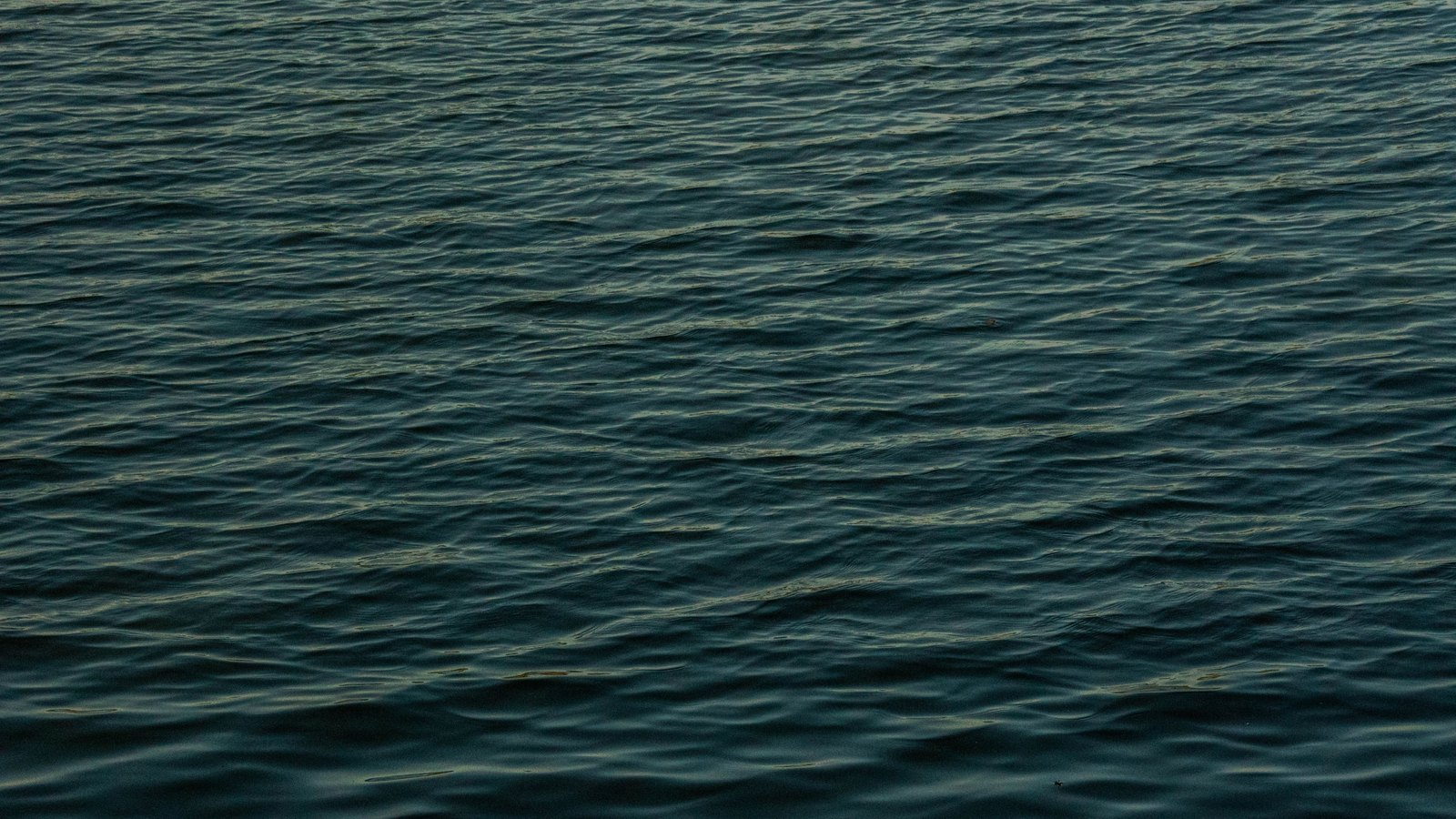 Stock photo
Buried in Friday morning's public inspection batch is a notice that starts a clock on the deep ocean floor.
NOAA has announced its intent to prepare an environmental impact statement on whether to issue a seabed mining exploration licence to The Metals Company USA, LLC. The area is 121,830.2 square kilometres of the Clarion-Clipperton Zone in the central Pacific, in six noncontiguous subareas, sitting between roughly 769 miles southeast of Hawaii and 1,892 miles west of Mexico. That is water beyond any nation's jurisdiction, and the licence would run ten years.
It would authorise looking, not taking. Commercial recovery requires a separate permit.
The statute is older than the argument
The authority is the Deep Seabed Hard Mineral Resources Act, 30 U.S.C. 1401 to 1473, which makes the NOAA Administrator responsible for licensing United States citizens to explore, and permitting them to recover, hard minerals beyond national jurisdiction. Before either can issue, the Act requires an environmental impact statement.
The sequence so far is in the notice. NOAA received an amended application on 28 July 2025, published it for comment on 23 December 2025, and certified it on 26 May 2026 after the comment period closed and federal agencies wrote in. Friday's notice opens scoping. A draft statement, the proposed licence terms and a public hearing come after that.
The notice states that NOAA expects the whole decision to conclude within one year of certification.
What the licence would allow
Vessels and autonomous vehicles. Sonar and cameras. Photographs, geotechnical samples, biological samples, and sediment pulled off the seafloor with box corers and multi-corers.
NOAA's own list of expected effects runs alongside it: disturbance of fauna from human presence and activity, sound impacts on marine species from sonar, sediment disturbance from the corers, and potential effects on water quality, marine wildlife, the deep seabed and its habitat, and marine infrastructure.
The alternatives to be analysed are three. Issue the licence as the exploration plan proposes. Issue it with additional or modified mitigation and monitoring. Deny it.
The test NOAA has to meet
The statutory finding is quoted in the notice, and it is the sentence the whole proceeding turns on. NOAA must find that the proposed exploration cannot reasonably be expected to result in a significant adverse effect on the quality of the environment.
That is 30 U.S.C. 1415(a)(4), and the EIS is the record against which the finding gets made.
The order behind it
The notice does not present this as a routine application. Its statement of purpose and need rests on Executive Order 14285, "Unleashing America's Offshore Critical Minerals and Resources", issued on 24 April 2025.
As the notice renders it, the order states that the United States has a core national security and economic interest in maintaining leadership in deep sea science and technology and seabed mineral resources, and must take immediate action to accelerate the responsible development of seabed mineral resources. NOAA was directed to expedite the review and issuance of exploration licences under the Act. The order itself was not retrieved for this item, so those words are the notice's account of it.
Two details a reader would otherwise miss
The notice invites the Environmental Protection Agency, the Coast Guard, and the Departments of State, Energy and the Interior to cooperate on the statement. It also opens a National Historic Preservation Act consultation and asks the public to help identify historic properties in the area of potential effects, which on this seabed means whatever is down there and older than the licence.
And there is a second application. A footnote records that TMC USA Application A was announced at the same time in December and is not the subject of this notice.
Comments are due 30 days after publication on 17 August, which is 16 September, to docket NOAA-NOS-2026-1816. The notice is signed by Neil A. Jacobs, the NOAA Administrator.