Interior has fixed the Colorado River cut at 1.25 million acre-feet in each of the next two years, and the split the Lower Basin proposes puts 440,000 of it on California
Four hundred and forty thousand acre-feet.
That is what the Lower Basin's own proposed sharing agreement would put on California in each of the next two years, and it is the part of Friday's decision that the headline number hides.
The Interior Department issued the 2027-2028 Operating Guidelines and the Record of Decision for the Post-2026 Colorado River Operations Final Environmental Impact Statement on 21 August, both signed by Secretary Doug Burgum. Between them they set how Lake Powell and Lake Mead are run once the 2007 Interim Guidelines, the 2019 drought contingency plans and the international minutes run out at the end of this year.
The cut, and who carries it
Deliveries to the Lower Basin states fall by 1.25 million acre-feet in each of 2027 and 2028. Interior states the split conditionally, because the split is the states' work rather than the federal government's: if the Lower Basin states implement their proposed sharing agreement, Arizona gives up 760,000 acre-feet, California 440,000 and Nevada 50,000.
Set that beside the shortage running now. Reclamation's August 2025 study left Lake Mead in a Level 1 shortage for calendar 2026 and named the contributions it called for, which were 512,000 acre-feet from Arizona, 21,000 from Nevada and 80,000 from Mexico under Minute 323. California is not in that sentence.
On top of the 1.25 million a year, the guidelines provide for the Lower Basin states to conserve and store at least 700,000 acre-feet across the two years.
A two-year cut inside a ten-year frame
The Record of Decision is not a two-year document. It establishes a Decision Framework running from 2027 to 2036, an operational range within which specific guidelines are then written, and Interior says it anticipates writing those in two-year blocks that can be scaled longer as basin circumstances change.
The stated reason is to leave room. Negotiations among the seven basin states continue, and the framework is built so that a consensus deal can be folded in at year three or four or later.
So the shape of the decision is a decade of federal authority asserted and very little of it spent.
What holds the dam up
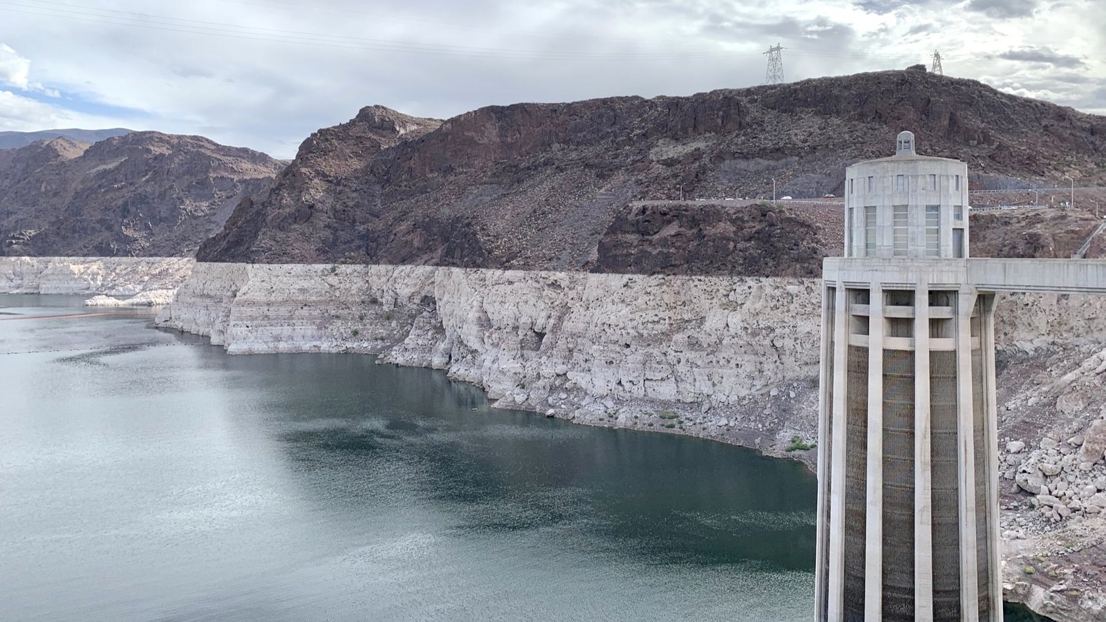
Releases from Lake Powell now run on objective criteria tied to actual hydrology and to holding elevation 3,510 feet, which is the level Glen Canyon Dam needs for reliable operation. The Upper Basin states are to enter an agreement, in consultation with the Lower Basin states and with basin tribes, on operating the Aspinall, Flaming Gorge and Navajo reservoirs to help protect that infrastructure. A federally managed pool is provided to help meet tribal firming obligations and to offset tribal impacts in part.
Elevation triggers are written in for further coordination and consultation if the reservoirs keep falling.
Interior's own account of why any of this is happening is one sentence long. The combined contents of Lake Powell and Lake Mead have not been this low since before Powell began filling, after the gates at Glen Canyon Dam closed in 1963.