The crash that blocked the left and centre lanes of Daniels Parkway at Danport Boulevard in Fort Myers cleared about half an hour after it was logged, and the debris the same board had across the southbound lanes of Interstate 75 a third of a mile away has gone with it
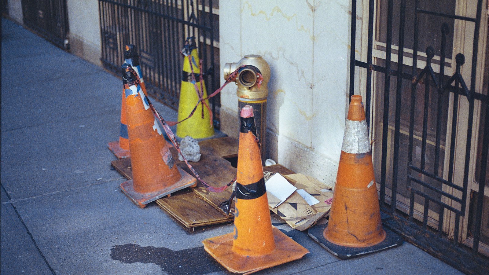
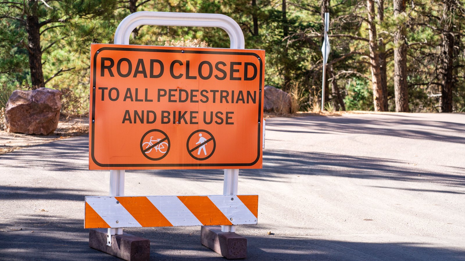
 Stock photo
Updated at 1.10 a.m. The lanes are open. The crash entry now carries a clearance stamp of 01:01:13 and its remarks field, which had read that the left and centre lanes were blocked, reads that there is no roadblock. This desk read the state board three times from 1.05 a.m. and all three carry it that way, with the location and the coordinates unchanged. The tightest window the public record allows runs from 12.59 a.m., when the entry was last captured still blocked, to the 01:01:13 stamp, which puts the blockage at roughly thirty five minutes from the 12.26 a.m. logging.
The debris entry has gone as well. The roadway debris row across the Interstate 75 southbound lanes at mile marker 131 was on the board at half past twelve and is on none of the three readings since, while the board itself carried its usual statewide load of entries on each, so that is the row clearing rather than the board falling quiet.
One field moved that is worth stating plainly, because this brief reported it earlier. The second timestamp on the crash entry, which read 12.30 a.m. at half past twelve, now reads 12.57 a.m. The Highway Patrol publishes nothing about what that column holds or when it rewrites it, so the change is given here as observed and nothing is built on it. The remarks field is what this update rests on, because it is the one field on the row that describes the road in words.
No agency issued a clearance statement, and a board recording no roadblock is a statement about the road rather than a report that anyone is unharmed. Nothing below has been withdrawn. The original entry follows as it was reported at 12.45 a.m.
The Florida Highway Patrol had the left and centre lanes of Daniels Parkway blocked at Danport Boulevard in Fort Myers after a crash logged shortly after midnight, and the entry was still live on the state dispatch board when this desk read it twice at half past twelve.
The board logged the incident at 12.26 a.m. and recorded a second entry against it at 12.30 a.m. Its remarks field read that the left and centre lanes were blocked. It carried no third timestamp, which on this board is the field that tends to move when a condition changes, and it stamped no expected clearance time.
The coordinates the board publishes for it are latitude 26.54740, longitude minus 81.79970.
A separate entry on the same board, logged a minute earlier at 12.25 a.m., recorded debris across the lanes of Interstate 75 southbound at mile marker 131. Its coordinates sat about a third of a mile to the east of the crash point, on the other side of the interchange. Nothing published connects the two, and this brief does not connect them either. Both were reported because both were recorded blocked or obstructed at the same interchange at the same hour.
The location of the crash moved on the board while this desk was watching it. The first capture, at 12.29 a.m., placed the row on Interstate 75 southbound at mile marker 131. The capture five minutes later carried the same type, the same 12.26 a.m. timestamp and the same remarks, but the location field then read Daniels Parkway at Danport Boulevard, and a second timestamp of 12.30 a.m. had been filled in. Both direct reads since carry only the Daniels Parkway location. The Highway Patrol publishes nothing about how it edits that field, so the sequence is given here as observed.
That same five minute polling is what fixes the time of day. The board prints its times on a twelve hour clock with no morning or afternoon marker, so a row reading 12:26:54 cannot state its own half of the day. The row was absent from the board at 12.24 a.m. and present at 12.29 a.m., which places it after midnight.
Almost nothing else about it is established. No agency has released the number of vehicles, any injury count, any name, any vehicle type or any cause. The Highway Patrol has published no statement on it and neither has the Lee County Sheriff's Office. Nobody has been accused of anything.
No weather condition is in effect on those roads. The National Weather Service active alert feed carried one alert for the whole of Florida when it was read at 12.36 a.m., a rip current statement on the Atlantic coast, and nothing touching Lee or Collier.
No local newsroom carries either entry at the hour of writing, which is unremarkable for something logged after midnight. That is why this item rests on the state board rather than on an outlet report.
One standing caution applies. The Highway Patrol board covers state roads, meaning the interstate, US 41 and the state routes. County and city streets are sheriff and city calls and never appear on it, so the absence of anything else on the board this morning means no other state road incident, not no incident.