The second strong-storm statement for northeastern Collier County expired at 3 p.m.
A second National Weather Service Special Weather Statement for northeastern Collier County expired at 3 p.m. Sunday. Radar had indicated a strong storm capable of 45 to 50 mph wind gusts, frequent lightning and torrential rain.
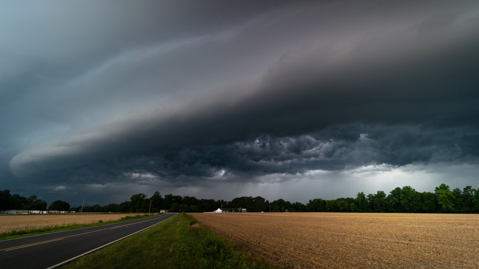 Stock photo
The second Special Weather Statement from the National Weather Service office in Miami for northeastern Collier County expired at 3 p.m. Sunday.
At 2:20 p.m., radar indicated a strong storm near Hendry Correctional, about 11 miles southeast of Ave Maria, moving east at 20 mph. Wind gusts could have reached 45 to 50 mph. The Weather Service said the wind could knock down tree limbs and blow around unsecured objects.
The statement warned that torrential rain could cause localized flooding and that frequent cloud to ground lightning was occurring.
The Weather Service's active-alert feed for Inland Collier County showed no replacement watch, warning or advisory just after 3 p.m.